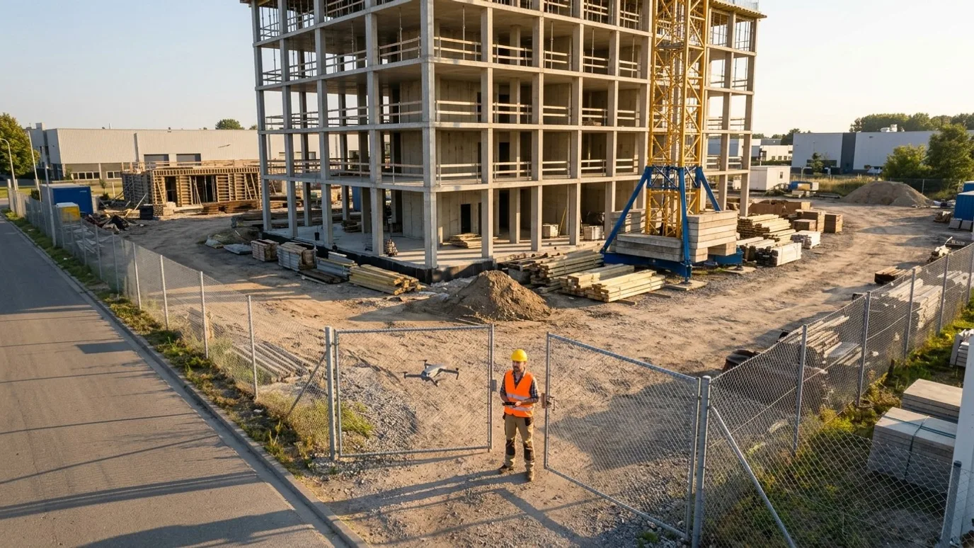
Construction
A record of the site that settles the argument before it starts.
Scheduled aerial captures, 360 site walks and measurable maps for general contractors who report to owners, lenders and head office.
Canada-wide · Transport Canada Advanced RPAS · Commercially insured
Progress, quality and safety, on the same schedule as your OAC meeting.
This is for general contractors and construction managers running commercial, institutional, industrial and multi-family projects, and the project managers and superintendents who answer to the owner on them.
The common thread is accountability to someone who is not on site. Owners, lenders, joint venture partners, a head office, a consultant. They need to see progress, verify what they are paying for, and trust the record if something goes wrong.
Lensdrone gives them that record: aerial captures on a schedule, 360 walks of every floor before cover, maps you can measure on, all delivered by one accountable operator into the tools your team already uses.
Progress
Schedule and quantities, visible without a site walk
The site captured from the same positions on the same day each cycle, so what changed is obvious and nobody has to describe it.
Dispute-proof timestamped record
Fixed vantage point stills and 360 walks, dated in the file and on the plan. When a claim or a delay question comes up, the answer is a click, not a memory.
Remote visibility for owners and PMs
The people who cannot be on site see the whole site the way it is. Fewer "can you send a photo of" emails, fewer drives.
Schedule and quantity tracking
Orthomosaics and surface models on a recurring cycle turn earthworks and structure progress into numbers you can put beside the baseline schedule.
Where the saving is
Every question answered from the record instead of a site visit is a trip nobody made, and every schedule conversation that starts from the same image is shorter. The saving is time for the PM and the superintendent, and fewer surprises for the owner.
Quality
Verify claimed work before you pay for it
What is in the pay application checked against what is on the ground, and what is behind the wall on record before it closes.
WIP verification
A trade claims a floor at 90 percent. The dated 360 walk and the aerial show what is actually in place. Work in place verification stops being a debate.
Pre-cover documentation
360 walks at pre-drywall and pre-ceiling, pinned to the plan, so rough-in, blocking and firestopping are on record for the life of the building.
RFIs with a picture
An RFI (request for information) that includes the exact location and a current image gets answered faster than one that describes it.
Where the saving is
Paying for work that is not there is the expensive one. The cheaper, more common saving is the trade call-out avoided because the pre-cover record already answered the question.
Safety
Fewer people at height and on the edge
Inspection tasks done from the air instead of from a ladder, a lift or a roof edge, and a site overview that supports your safety programme.
Roof, facade and crane checks from the air
Membrane, flashings, tie-ins, hoist and crane condition captured without anyone leaving the ground.
Site logistics review
Laydown, access, crane swing, hoarding and traffic routes seen from above and reviewed before the next phase changes them.
Incident and near-miss records
A dated aerial of the site as it was that week is useful when something needs to be reconstructed later.
Where the saving is
A worker who did not go up a ladder to look at something is the saving. It does not show up on an invoice, which is why it is easy to skip.
Services for construction
What we do on these sites
- Construction progress monitoringThe scheduled aerial record. Same vantage points, same cycle, comparison sheets for the owner report.Read more
- Interior 360 site walksEvery floor before cover, pinned to your plans. The record that answers RFIs two years later.Read more
- Mapping and orthomosaicEarthworks quantities, stockpiles and as-built surfaces, with ground control so your surveyor can sign off.Read more
- Flights for your platformAlready on DroneDeploy, Pix4D or Propeller? We fly to its spec and upload into your project.Read more
- Roof and building inspectionEnvelope and roof condition before handover, without a lift.Read more
FAQ
Questions construction teams ask
We already take progress photos. Why would we pay for this?
Ground photos show a wall. Aerial captures from fixed positions show the whole site, the same way, every time. The difference matters when someone who was not there needs to understand what changed, or when there is a dispute about when work was done. Most clients keep taking their own photos. Ours are the record they hand to the owner.
Is this only for large, multi-year projects?
No. The smallest programmes we run are a few visits over a single phase, or a single inspection of one building. What matters is whether someone needs to see or measure something they cannot easily get to. Project size is not the deciding factor.
Does this work with Procore, Autodesk Construction Cloud, DroneDeploy or Pix4D?
Yes. Files can go into your Procore or ACC project. If your team already uses DroneDeploy, Pix4D, Propeller or similar, we capture to that platform’s spec and deliver into your account. See the flights for your platform service.
What if our site is in controlled airspace?
Most urban sites are. Every operator we dispatch holds the Advanced RPAS certificate, which is the one that permits controlled airspace flight, and we request NAV CANADA authorisation before each visit. It adds lead time to the first capture, rarely to the cost.
Who owns the data?
You do. Every photo, video, map and model is yours to use however you want, with no licensing fee and no expiry. We keep a copy for the duration of the project in case a file goes missing on your side, then delete it unless you ask us to keep it.
How fast can you be on site?
It depends on where the site is and whether airspace authorisation is needed. Tell us the location and we will give you a date. Ben flies personally where he can and dispatches a vetted, licensed, insured operator elsewhere in Canada. Either way, Lensdrone is the one accountable operator of record.
What happens in winter?
We fly in winter across Canada. Cold shortens battery life and low sun changes the look of the images, so we plan for shorter flights and midday captures. Heavy snow or freezing rain will move a visit by a day or two, and we tell you as soon as we know.
Next step
Tell us about the site.
Anywhere in Canada. Send the basics and Ben will come back as soon as he can with a scope and a price. If you would rather talk, call.
- Call Ben
- +1 778 889 9306
- [email protected]
- Ballpark in 60 seconds
- Instant estimate