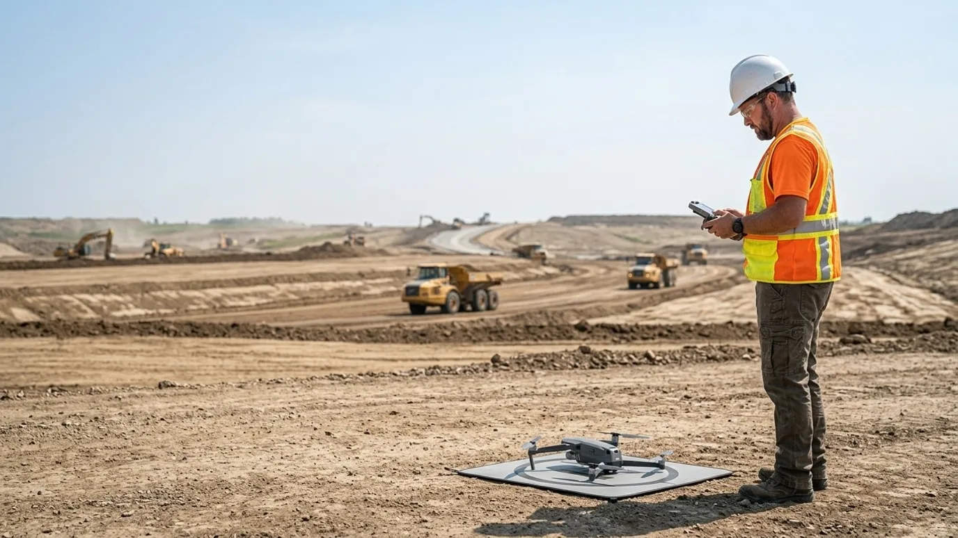
Flights for your platform
You have the platform. We fly to its spec and deliver into your account.
For teams already on DroneDeploy, Pix4D, Propeller, Trimble Stratus or similar who need a licensed, insured operator to do the flying. Same outputs your team expects, no new software.
Canada-wide · Transport Canada Advanced RPAS · Commercially insured
Your platform, your workflow, your account. Our aircraft and our licence.
This is for construction, civil, mining and survey teams who already run their reality capture on a platform and have a gap where the pilot should be: the person who flew left, the drone is grounded, the site is in another province, or nobody wants to own the licence and the insurance.
Switching platforms to get a flying service is the wrong fix. Your team knows the tool, the dashboards are set up, the history is in there.
Lensdrone flies to your platform's spec, on your plan, and the imagery lands in your project. Ground control points where the accuracy calls for them, a flight report for your QA file, and one accountable operator of record for every flight.
Continuity
Nothing changes for your team
The data lands where it always has, in the format your team already processes and shares. No exports, no conversions.
Consistency
Same spec, every flight
Flight plans built to your platform’s overlap, altitude and GSD requirements, and repeated exactly, so month-over-month comparisons hold.
Accountability
One operator of record
A licensed, insured operator responsible for the flight, the airspace and the site safety, instead of whoever on staff has a drone.
Deliverables
What you get
Capture delivered into your account
Raw imagery uploaded to your DroneDeploy, Pix4D Cloud, Propeller, Stratus or other project, ready for processing on your side.
Processed outputs (optional)
If you want us to process: orthomosaic, DSM, DTM, point cloud, 3D mesh, contours, in your coordinate system.
Ground control points
GCPs placed and surveyed where your accuracy requirement calls for them, with the control file uploaded alongside the imagery.
Raw imagery archive
Every image with full metadata, in a folder you own, independent of the platform.
Flight log and report
Flight parameters, weather, airspace authorisation, GCP residuals. The audit trail your QA process needs.
Recurring schedule
Weekly or monthly flights on the same plan, so your progress and volume tools have a clean series.
- Turnaround
- Upload as soon as the flight is checked, agreed at scoping
- Delivery
- Directly into your platform account, plus a raw archive
- Licensing
- You own every image and output.
What it looks like

Orthomosaic in your account
Processed in your platform or by us, delivered in your coordinate system.
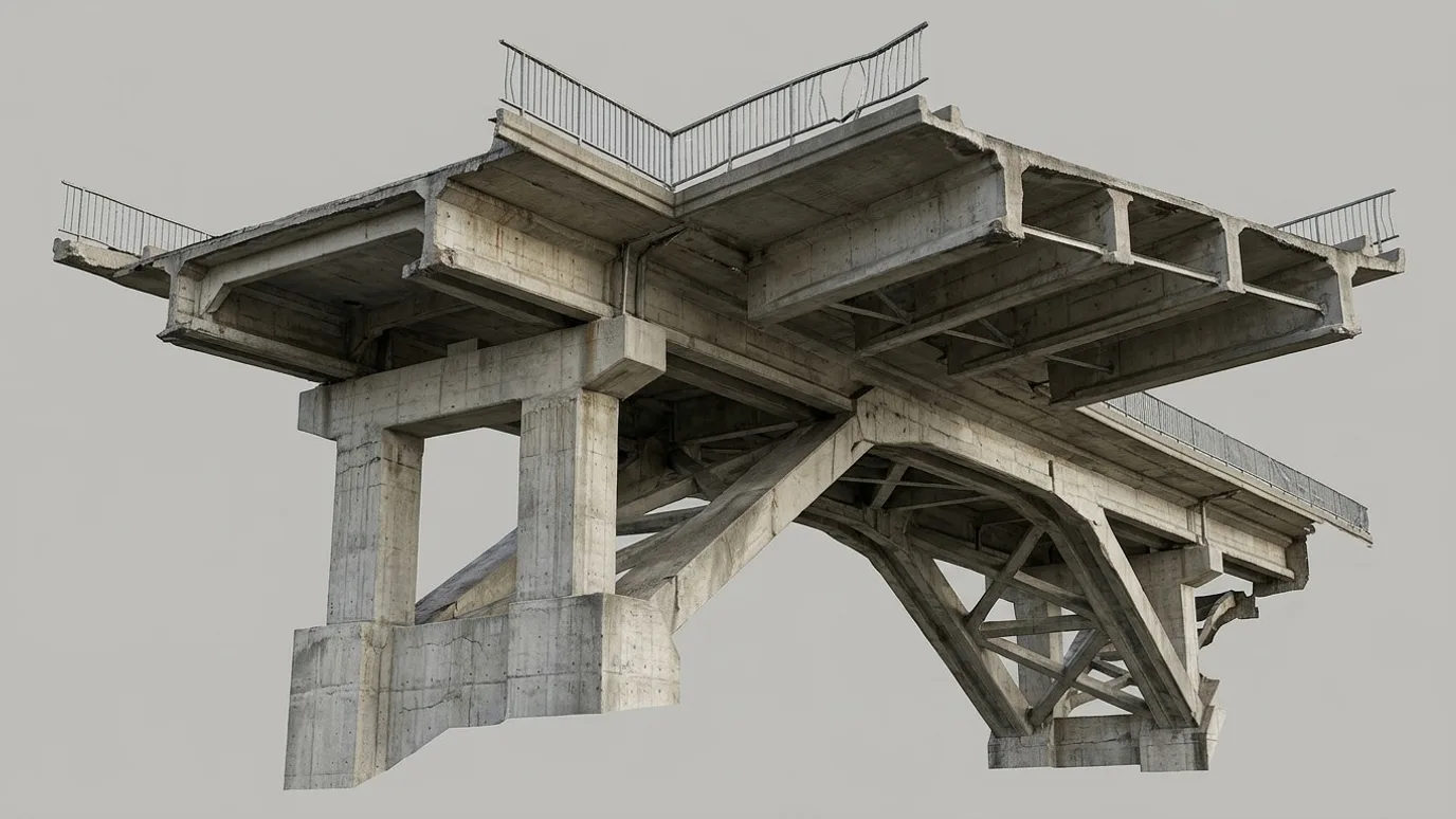
Point cloud and mesh
LAS or LAZ and a textured mesh where you want one.
How it works
Spec, fly, upload.
Spec call
Platform, project, GSD and overlap, coordinate system, whether GCPs are needed, and who processes.
Fly
Flight plan built to the spec, airspace authorised, GCPs placed if required, captured and checked on site.
Upload
Imagery and control file into your project. Processing on your side or ours. Flight report attached.
01
Spec call
Platform, project, GSD and overlap, coordinate system, whether GCPs are needed, and who processes.
02
Fly
Flight plan built to the spec, airspace authorised, GCPs placed if required, captured and checked on site.
03
Upload
Imagery and control file into your project. Processing on your side or ours. Flight report attached.
Compliance
Compliance, in plain terms
Nothing here is a selling point. It is the minimum you should demand from anyone who flies on your site.
Transport Canada Advanced RPAS certificate
The advanced certificate is the one that permits flight in controlled airspace and near people. Every operator Lensdrone dispatches holds it.
Commercial liability insurance
Insured for commercial RPAS operations. Certificate of insurance available on request, naming your company where required.
NAV CANADA airspace authorisation
Controlled airspace near airports needs authorisation before each flight. We handle the request and build the lead time into scheduling.
SFOC where needed
Some operations, such as flights over 122 m or beyond visual line of sight, need a Special Flight Operations Certificate. We tell you up front if your job needs one and manage the application.
Site safety briefing
We attend your site orientation, follow your PPE and access rules, and brief your team on where and when we are flying.
Pricing
Quoted per project. Tell us about the site and you get a scope and a number.
In practice
What it looks like on a real job
Civil contractor on DroneDeploy
Biweekly flights on an existing DroneDeploy workflow
- The problem
- A company DroneDeploy subscription and a progress-tracking workflow, but the one licensed employee had left.
- What we captured
- Biweekly flights on the company’s existing flight plan, GCPs, imagery uploaded into their project the same day.
- What changed
- The progress dashboards kept updating. Nobody on site had to learn to fly or chase a certificate.
FAQ
Questions people ask before booking
Which platforms do you support?
DroneDeploy, Pix4D (Cloud and Matic), Propeller, Trimble Stratus, Bentley iTwin Capture, Agisoft Metashape, OpenDroneMap, and any platform that takes standard geotagged imagery and a GCP file. If yours is not listed, ask.
What outputs can you deliver?
Orthomosaic, DSM, DTM, point cloud (LAS or LAZ), textured 3D mesh, contours, and raw imagery with GCPs where required. Either uploaded for processing in your platform or processed by us and delivered in your coordinate system.
Do you need access to our account?
An upload-level login or a shared project link is usually enough. If your policy does not allow that, we deliver to a shared folder and your team uploads.
Can you follow our existing flight plan?
Yes. Send the plan or its parameters and we fly it exactly. Where the plan is not right for the aircraft or the site, we say so before flying.
We need Propeller AeroPoints or a specific GCP workflow.
Fine. We work with your control hardware and file formats, or place and survey conventional targets and provide the coordinate file your platform expects.
How is this priced?
Per flight or per programme, quoted for the site and the spec. Recurring programmes are scoped once and billed per visit.
Next step
Tell us about the site.
Anywhere in Canada. Send the basics and Ben will come back as soon as he can with a scope and a price. If you would rather talk, call.
- Call Ben
- +1 778 889 9306
- [email protected]
- Ballpark in 60 seconds
- Instant estimate