Construction · Langley, BC · December 2020
DroneHive: a Langley construction site, flown to spec
- Client
- DroneHive
- Outcome
- Their spec, their platform, their account. Our aircraft, our licence, our PPE.
The problem
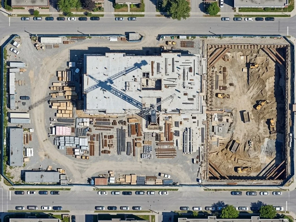
DroneHive runs a reality capture programme for construction clients and needed a licensed operator to fly one of its sites in Langley, BC. The site sits in controlled airspace with a 200 ft ceiling, and the deliverable had to land in DroneHive’s own processing pipeline, Pix4D, flown with DJI Go 4, exactly as their capture spec described it.
What we captured
The spec, as written, and as flown:
- Ortho continuous, overlapping nadir imagery at 80 percent overlap and 80 percent sidelap, in a single pass. Not a grid mission.
- Obliques five to ten oblique images at 100 ft AGL.
- Panos four panoramas per site, evenly distributed, at 100 ft AGL.
- Video one 4K flyover per building. Any signage that identifies the property, a pass around the building at variable height, the surrounding area, notable features and site access.
Airspace authorisation for the 200 ft ceiling was in place before the date was confirmed. On site: hard hat, steel toes, long sleeves, long pants, high-visibility vest, gloves. The site’s rules, followed the way any other trade follows them.
What changed
DroneHive got the data in the format their pipeline expects, without buying an aircraft, certifying a pilot or carrying the insurance for one job in one city. That is the whole point of flights for your platform: you keep the platform and the workflow, we do the flying.