Mining and quarries
Stockpiles and benches measured from the air, on a schedule.
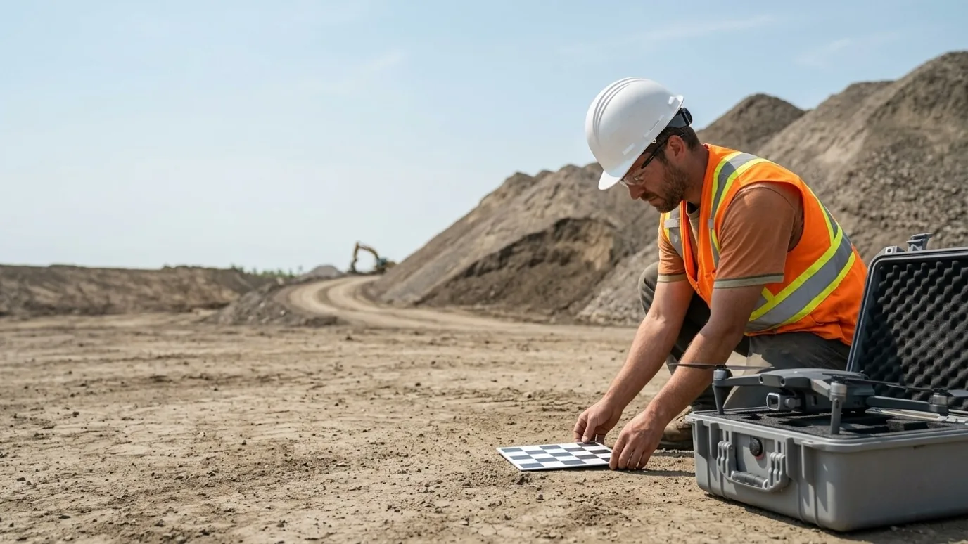
Volume surveys, pit and bench mapping, haul road and reclamation records for quarries, aggregate producers and mine sites. Ground control placed, accuracy stated, no one on the pile.
Canada-wide · Transport Canada Advanced RPAS · Commercially insured
Month-end inventory as a surface model, not a guess from the loader seat.
This is for quarry and aggregate operators, mine sites, and the engineers, surveyors and accountants who need inventory and surfaces from them.
A stockpile estimated from the loader seat is a guess. A pit surveyed by rover is a crew day and a sample. Both leave someone on a pile or under a face to get the number.
A drone survey with ground control captures the whole site in an hour, gives you volumes by product, benches and faces in your grid, and an accuracy report that an auditor accepts. Repeat it monthly and inventory reconciliation becomes arithmetic.
Progress
Inventory and extraction, tracked from the same surface
A site model every cycle, so stockpile inventory and material moved are computed rather than estimated.
Stockpile volumes by product
Every pile measured from the surface model, by material, repeatable month to month for inventory and reconciliation.
Extraction and bench progress
Pit, bench and face surfaces compared to the previous capture and to the mine plan.
Reclamation records
Regraded and revegetated areas mapped and dated for the regulator and the closure plan.
Where the saving is
Inventory that is off by a few percent across a yard is a real number at year end. A monthly survey turns the reconciliation into arithmetic and shortens the audit.
Quality
Surfaces your engineer and your accountant can use
Georeferenced models in your coordinate system with checkpoint residuals, delivered into your mine planning tools.
Pit and bench surveys
DSM, DTM and point cloud of the working faces and benches in your grid, for design comparison and slope review.
Haul road and drainage mapping
Grades, widths, berms and drainage seen on a measurable map before they become a problem.
Audit-ready accuracy
Ground control layout, checkpoints and residuals in a report, so the volumes stand up to a third party.
Where the saving is
A survey crew walking the pit with a rover costs a day and samples the surface. A flight captures all of it in an hour and the crew places control instead.
Safety
Nobody on the pile or under the face
Measurements and inspections done from the air on a site where the ground is the hazard.
No one climbing stockpiles
Volumes from the model instead of a person on unstable material with a GPS pole.
Highwall and face inspection
Faces, crests and benches inspected at resolution without anyone standing below them.
Blast and event documentation
Pre- and post-blast surfaces, and post-event captures after slumps or weather, before a crew goes in.
Where the saving is
The person who did not climb the pile or walk under the highwall is the saving. It is the reason many sites start with drone surveys before they think about the inventory numbers.
Services for mining and quarries
What we do on these sites
- Mapping and orthomosaicThe core service: volumes, surfaces and point clouds with ground control and an accuracy report.Read more
- Flights for your platformOn Propeller, Trimble Stratus or a mine planning platform already? We fly to spec and upload.Read more
- Infrastructure and municipalCrushers, conveyors, settling ponds and site structures inspected from the air.Read more
FAQ
Questions mining and quarries teams ask
How accurate are the stockpile volumes?
With ground control, typically within a low single-digit percentage for a well-defined pile, stated in the accuracy report. The base surface matters as much as the flight; we capture and agree a base with you so month-to-month comparisons are consistent.
Can you survey an operating pit without stopping production?
Usually, yes. The flight is planned around the working areas and equipment, coordinated with the site supervisor, and takes well under an hour for most sites. Control placement is the part that needs access.
Does this work with Procore, Autodesk Construction Cloud, DroneDeploy or Pix4D?
Yes. Files can go into your Procore or ACC project. If your team already uses DroneDeploy, Pix4D, Propeller or similar, we capture to that platform’s spec and deliver into your account. See the flights for your platform service.
Who owns the data?
You do. Every photo, video, map and model is yours to use however you want, with no licensing fee and no expiry. We keep a copy for the duration of the project in case a file goes missing on your side, then delete it unless you ask us to keep it.
What happens in winter?
We fly in winter across Canada. Cold shortens battery life and low sun changes the look of the images, so we plan for shorter flights and midday captures. Heavy snow or freezing rain will move a visit by a day or two, and we tell you as soon as we know.
Who actually shows up on site?
Ben where the site is within his reach. Elsewhere in Canada, a subcontracted operator Lensdrone has vetted for licence, insurance and experience, briefed on your site and working to the same capture plan. One company, one invoice, one operator of record either way.
Can you provide a certificate of insurance naming our company?
Yes. Commercial liability insurance for RPAS operations, with a certificate naming your company or the owner as required by your contract. Ask for it at scoping and it arrives with the quote.
Next step
Tell us about the site.
Anywhere in Canada. Send the basics and Ben will come back as soon as he can with a scope and a price. If you would rather talk, call.
- Call Ben
- +1 778 889 9306
- [email protected]
- Ballpark in 60 seconds
- Instant estimate