Roofing and building envelope
Quote from the whole roof, not the part you could reach.
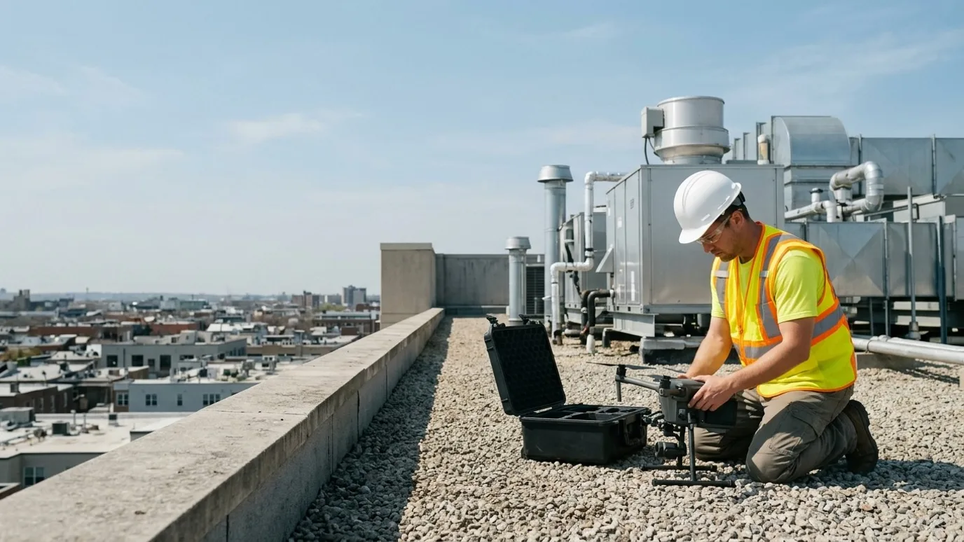
Condition surveys, thermal moisture scans and dated records for roofing contractors, envelope consultants and the property owners they work for. No ladder, no lift, no one on the membrane.
Canada-wide · Transport Canada Advanced RPAS · Commercially insured
Every seam, flashing and drain on the plan before the quote goes out.
This is for roofing contractors, building envelope consultants and the property owners and managers who hire them.
A roof walk sees where the person walked. A lift sees the edge. Neither is safe on a steep or fragile roof, and neither finds moisture under a membrane that looks fine.
A drone survey covers the whole roof and envelope at a resolution where a lifted seam is obvious, adds thermal to find the wet insulation, and gives you a measurable map for the take-off. The estimate is tighter, the report is on the plan, and nobody went up until the work started.
Progress
Re-roofing and envelope projects, tracked from above
Tear-off, insulation, membrane and flashing stages captured as they happen, for the owner and for your own record.
Stage documentation
Each stage of a re-roof or recladding captured from the same positions, so the owner sees progress and you have a record of what went in.
Area and material take-offs
A roof orthomosaic measured for area, drains, penetrations and units, before the estimate.
Multi-building portfolios
Several roofs on one site or across a portfolio surveyed the same way on the same day.
Where the saving is
A take-off from a measurable map replaces a roof walk with a wheel and catches the penetrations the walk missed. The estimate is tighter and the change orders are fewer.
Quality
Thermal and visual evidence for warranty and claims
Moisture under the membrane, failed seams and ponding located on a plan, with imagery an insurer or manufacturer accepts.
Thermal moisture survey
Infrared capture after sunset showing wet insulation as warm patches, paired with the visual frame, located on the roof plan.
Warranty baseline and close-out
The completed roof documented at close-out, so the warranty starts from a record rather than a memory.
Storm and claim records
Post-event capture from the same positions as the baseline. The comparison is the claim.
Where the saving is
Replacing a section that a thermal scan would have shown was dry, or missing the wet one, is the expensive mistake. The scan costs a fraction of either.
Safety
Nobody at height for the survey
The inspection done from the air, so the only people on the roof are the ones doing the work.
No fall-arrest setup for a look
The survey needs no anchors, no lift, no ladder. It also does not damage the membrane.
Steep, high and fragile roofs
Metal, slate, skylights and roofs that should not be walked on at all, inspected at the same resolution as a flat roof.
Facade and high elevations
Cladding, sealant joints and glazing on upper floors without a swing stage.
Where the saving is
Working at height is where roofing injuries happen. An inspection that keeps everyone on the ground until the work starts removes one exposure entirely.
Services for roofing and building envelope
What we do on these sites
- Roof and building inspectionThe core service: systematic visual and thermal capture with an annotated report on the roof plan.Read more
- Construction progress monitoringStage captures on re-roofing and recladding projects for owner reporting.Read more
- Mapping and orthomosaicRoof orthomosaics for area take-offs and drainage review.Read more
FAQ
Questions roofing and building envelope teams ask
Will a thermal scan tell us exactly where the roof is wet?
It shows where the insulation holds heat differently, which on most low-slope roofs means moisture. It is a locator, not a lab test; a core sample at the marked spot confirms it. The scan tells you where to core instead of coring blind.
Can you fly a roof with people working on it?
Yes, with coordination. We fly around the crew rather than over them, or capture before work starts for the day. Your site rules apply.
Is this only for large, multi-year projects?
No. The smallest programmes we run are a few visits over a single phase, or a single inspection of one building. What matters is whether someone needs to see or measure something they cannot easily get to. Project size is not the deciding factor.
What if our site is in controlled airspace?
Most urban sites are. Every operator we dispatch holds the Advanced RPAS certificate, which is the one that permits controlled airspace flight, and we request NAV CANADA authorisation before each visit. It adds lead time to the first capture, rarely to the cost.
Who owns the data?
You do. Every photo, video, map and model is yours to use however you want, with no licensing fee and no expiry. We keep a copy for the duration of the project in case a file goes missing on your side, then delete it unless you ask us to keep it.
Can you provide a certificate of insurance naming our company?
Yes. Commercial liability insurance for RPAS operations, with a certificate naming your company or the owner as required by your contract. Ask for it at scoping and it arrives with the quote.
Next step
Tell us about the site.
Anywhere in Canada. Send the basics and Ben will come back as soon as he can with a scope and a price. If you would rather talk, call.
- Call Ben
- +1 778 889 9306
- [email protected]
- Ballpark in 60 seconds
- Instant estimate