Solar and renewables
The whole array, inspected the same way, every time.
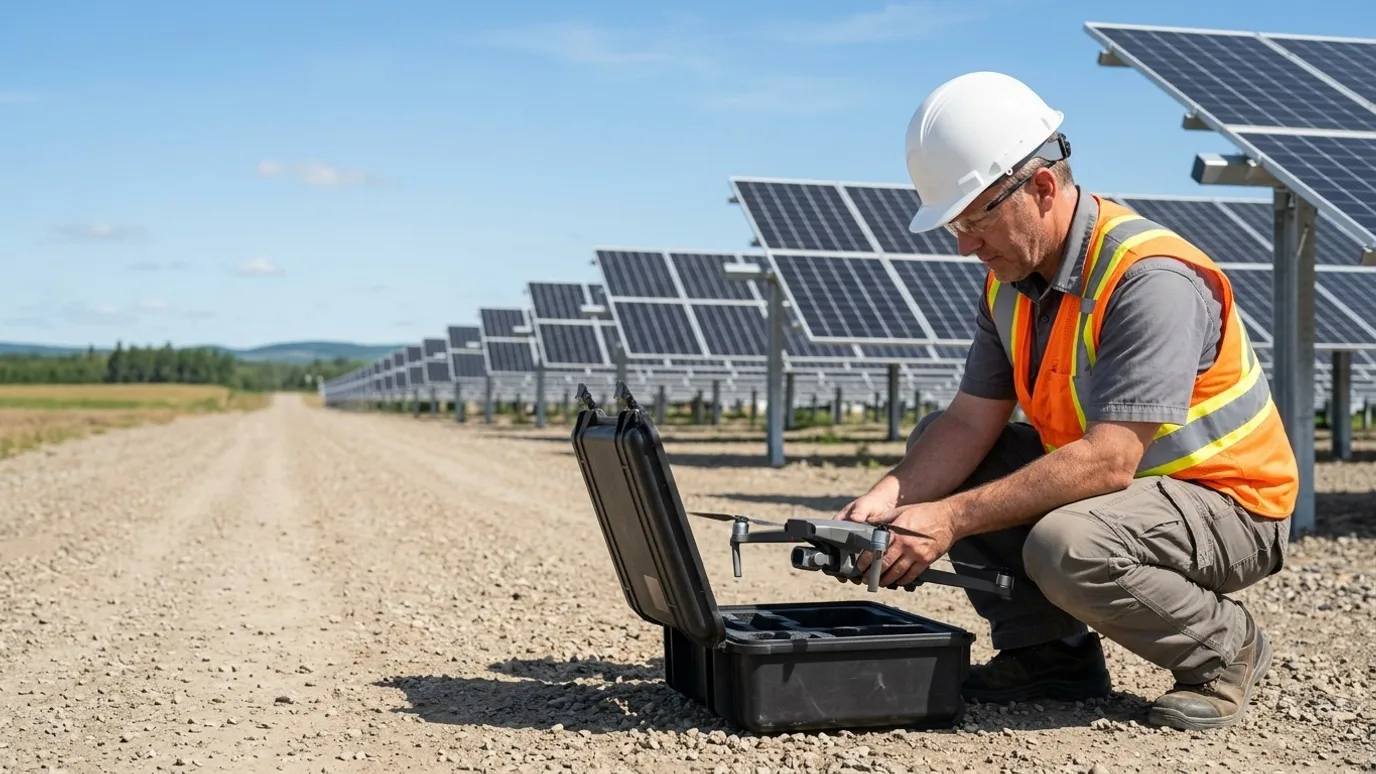
Thermal and visual inspection, commissioning baselines, construction progress and mapping for solar and renewable energy owners, EPCs and O&M contractors.
Canada-wide · Transport Canada Advanced RPAS · Commercially insured
Underperformance located to the string, not just noticed in the report.
This is for solar and renewable energy asset owners, EPC contractors, O&M teams and the consultants who advise them, on ground-mount, rooftop and distributed portfolios.
An array is thousands of identical things spread over hectares. Walking it with a handheld thermal camera takes days and samples a fraction. A production report says something is wrong and not where.
A drone thermal survey covers the entire array in a morning at consistent conditions, and every anomaly comes back with a location, a temperature and a visual pair. During construction, the same aircraft counts progress by block and sets the commissioning baseline.
Progress
Construction and commissioning, tracked from above
Piling, racking, module installation and electrical progress captured on a schedule across a site too big to walk.
Installation progress by block
Orthomosaics each cycle showing piles driven, racking set and modules installed, counted by block against the schedule.
Commissioning thermal baseline
A full thermal survey at commissioning, so every later scan has something to compare to and warranty claims start from evidence.
Owner and investor reporting
The site as it is, in a link, for people who will not visit a field in another province.
Where the saving is
Counting installed modules from an orthomosaic is faster and more accurate than a walk-down, and the commissioning baseline is what makes a later warranty claim stick.
Quality
Anomalies found, located and ranked
Thermal and visual survey of the operating array, with each finding placed on the plan and classified.
Thermal anomaly survey
Hot cells, strings and diodes, PID patterns, soiling and shading, each with a temperature, a location and a visual pair.
Findings in your O&M system
Report as PDF and CSV by module or string identifier, ready to become work orders.
Vegetation and drainage
Orthomosaics and elevation models that show encroachment and ponding before they cost production.
Where the saving is
A few percent of production on a utility-scale array is a real number. A survey that turns that into a ranked list of strings to fix pays for itself in the first repair cycle.
Safety
No one in the switchyard for a look
Substations, inverters and line hardware inspected from the air with nothing de-energised.
Substation and inverter inspection
Systematic visual and thermal of bushings, connections and enclosures from outside the approach limits.
Collector line and structure checks
Poles, conductors and hardware along the collection system without a bucket truck.
Snow, storm and event response
Post-event capture of the array and structures, compared to baseline, before anyone walks it.
Where the saving is
An outage taken to inspect something that a thermal flight would have shown was fine is lost production. An arc flash exposure avoided is the other kind of saving.
Services for solar and renewables
What we do on these sites
- Solar and utility inspectionThe core service: thermal and visual survey with a ranked, located anomaly report.Read more
- Construction progress monitoringInstallation progress by block during construction.Read more
- Mapping and orthomosaicSite mapping, elevation models and vegetation review.Read more
- Flights for your platformOn a solar-specific analytics platform already? We fly to its capture spec.Read more
FAQ
Questions solar and renewables teams ask
What conditions do you need for a thermal survey?
Clear sky, irradiance above roughly 600 W/m², low wind. Late morning to early afternoon on a sunny day. We schedule around it and will move a visit rather than deliver a thermal set that cannot be trusted.
Can findings be matched to our module labels?
Yes, with the as-built layout. Findings are then reported by the identifiers your O&M team uses. Without a layout they are located by coordinate on the orthomosaic.
Is this only for large, multi-year projects?
No. The smallest programmes we run are a few visits over a single phase, or a single inspection of one building. What matters is whether someone needs to see or measure something they cannot easily get to. Project size is not the deciding factor.
Who owns the data?
You do. Every photo, video, map and model is yours to use however you want, with no licensing fee and no expiry. We keep a copy for the duration of the project in case a file goes missing on your side, then delete it unless you ask us to keep it.
How fast can you be on site?
It depends on where the site is and whether airspace authorisation is needed. Tell us the location and we will give you a date. Ben flies personally where he can and dispatches a vetted, licensed, insured operator elsewhere in Canada. Either way, Lensdrone is the one accountable operator of record.
What happens in winter?
We fly in winter across Canada. Cold shortens battery life and low sun changes the look of the images, so we plan for shorter flights and midday captures. Heavy snow or freezing rain will move a visit by a day or two, and we tell you as soon as we know.
Who actually shows up on site?
Ben where the site is within his reach. Elsewhere in Canada, a subcontracted operator Lensdrone has vetted for licence, insurance and experience, briefed on your site and working to the same capture plan. One company, one invoice, one operator of record either way.
Next step
Tell us about the site.
Anywhere in Canada. Send the basics and Ben will come back as soon as he can with a scope and a price. If you would rather talk, call.
- Call Ben
- +1 778 889 9306
- [email protected]
- Ballpark in 60 seconds
- Instant estimate