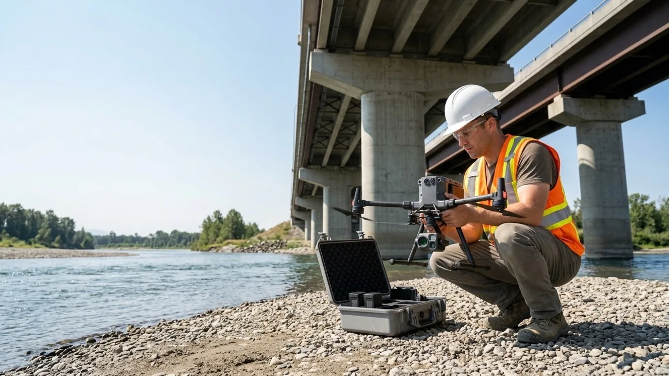
Utilities and infrastructure
Corridors, structures and substations, documented without an outage.
Systematic inspection imagery, corridor mapping and dated asset records for utilities, infrastructure owners and the agencies responsible for them. Airspace and SFOC handled.
Canada-wide · Transport Canada Advanced RPAS · Commercially insured
Public and utility assets recorded to a standard an engineer can rely on.
This is for electrical, gas, water and telecom utilities, transportation and infrastructure owners, and the public agencies and consultants responsible for their assets.
Inspecting these assets conventionally means outages, closures, lifts and crews in places nobody wants them. So it happens on a cycle set by what it costs, not by what the asset needs.
A drone captures a corridor, a structure or a yard systematically, with nothing closed and no one at height, and the record goes into your GIS as a dated layer. The airspace authorisations and SFOCs that utility work usually needs are handled as part of the job.
Progress
Capital projects and corridors, tracked from the air
Line builds, substation expansions, pipeline and road corridors captured on a schedule along their length.
Corridor progress mapping
Orthomosaics along the right-of-way each cycle: clearing, access, foundations, structures, stringing, restoration.
Substation and facility construction
Fixed vantage point captures and 360 walks of the yard as equipment arrives and is set.
Stakeholder and regulator reporting
A dated, georeferenced record for the owner, the regulator and the public consultation.
Where the saving is
A corridor is long and the people who need to see it are not there. The saving is the vehicle-days replaced by a map, and the questions answered before they become a site visit.
Quality
Condition records an engineer inspects from
Systematic imagery of structures and assets, organised by element, with a model where geometry matters.
Structure inspection imagery
Towers, poles, bridges, culverts, dams and walls captured element by element with a location key.
3D models for engineering review
Photogrammetric models of structures for spalling, cracking, settlement and clearance review in context.
GIS-ready asset layers
Orthomosaics and elevation models delivered as dated layers in your coordinate system.
Where the saving is
The engineer reviews every structure from a desk and sends a crew to the ones that need hands-on attention. Fewer lifts, fewer closures, more assets inspected per cycle.
Safety
No one near the energised gear or over the edge
Inspection tasks done from the air, outside limits of approach, with nothing closed or de-energised.
Energised inspection
Bushings, insulators, connections and conductors captured visually and thermally from outside the approach zone.
No lane closures for a look
Bridge undersides and road structures captured with traffic moving, under an SFOC where overflight is unavoidable.
Post-event assessment
Storm, flood and fire damage surveyed before crews are sent into it.
Where the saving is
An outage not taken and a worker not put in a bucket truck are the two savings. Neither appears on an invoice, which is why they are easy to leave on the table.
Services for utilities and infrastructure
What we do on these sites
- Infrastructure and municipalBridges, roads, dams and public assets, inspected and mapped, with SFOC handled.Read more
- Solar and utility inspectionSubstations, lines and generation assets, visual and thermal.Read more
- Mapping and orthomosaicCorridor and site mapping in your coordinate system, ground control included.Read more
- Flights for your platformCapture to the spec of your asset management or reality capture platform.Read more
FAQ
Questions utilities and infrastructure teams ask
How do you handle flights near energised equipment?
We coordinate with your operations people, stay outside limits of approach, and plan the flight so nothing is overflown that should not be. The aircraft and the operator both have experience around EMI environments.
Can you fly beyond visual line of sight along a corridor?
Where the corridor justifies it, yes, under a Special Flight Operations Certificate. We identify the requirement at scoping and manage the application. Shorter corridors are flown in visual segments without one.
Is this only for large, multi-year projects?
No. The smallest programmes we run are a few visits over a single phase, or a single inspection of one building. What matters is whether someone needs to see or measure something they cannot easily get to. Project size is not the deciding factor.
Who owns the data?
You do. Every photo, video, map and model is yours to use however you want, with no licensing fee and no expiry. We keep a copy for the duration of the project in case a file goes missing on your side, then delete it unless you ask us to keep it.
Can you provide a certificate of insurance naming our company?
Yes. Commercial liability insurance for RPAS operations, with a certificate naming your company or the owner as required by your contract. Ask for it at scoping and it arrives with the quote.
What happens in winter?
We fly in winter across Canada. Cold shortens battery life and low sun changes the look of the images, so we plan for shorter flights and midday captures. Heavy snow or freezing rain will move a visit by a day or two, and we tell you as soon as we know.
Who actually shows up on site?
Ben where the site is within his reach. Elsewhere in Canada, a subcontracted operator Lensdrone has vetted for licence, insurance and experience, briefed on your site and working to the same capture plan. One company, one invoice, one operator of record either way.
Next step
Tell us about the site.
Anywhere in Canada. Send the basics and Ben will come back as soon as he can with a scope and a price. If you would rather talk, call.
- Call Ben
- +1 778 889 9306
- [email protected]
- Ballpark in 60 seconds
- Instant estimate